|
Research: Mapping & Surveying
 |
CCRM has research projects related to nearshore fauna such as terrapin habitat conflicts, Atlantic sturgeon spawning habitat, and derelict crabpot bycatch degradable panels. |
|
Benthic and Shallow Water Characteristics - An investigation of the characterization of shallow benthic habitat (< 4 m depth) where many critical structural habitats such as seagrass beds, shellfish beds and sandflats occur. |
|
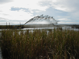
MARSH Project -
Monitoring the Active Replenishment of Subsiding Habitat. This project focuses on the observed
changes of marsh habitat resulting from rising sea level, potentially
combined with local subsidence. |
|
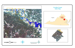
Shoreline Inventory - a collection of shoreline maps for MD and VA that divide the shorezone into three regions: 1) the immediate riparian zone, evaluated for land use; 2) the bank, evaluated for height, stability, cover and natural protection; and 3) the shoreline, describing the presence of shoreline structures for shore protection and recreational access. |
|
|